
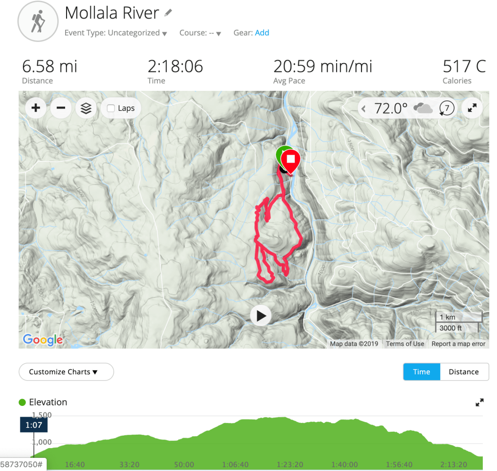
Molalla River Loop

Giant ant hill 
In early September, we hiked in the Molalla Forest, just east of Salem. There were a lot of trails in the forest, so we didn’t do the exact loop listed on AllTrails, but we did a combination of trails for a total of 6.5 miles. The trail started on the Huckleberry Trail, which is a service road. After a couple of miles on that, we were getting bored so we hopped onto some single-track trail and wound our way through the forest. It was a rainy day and very lightly trafficked. The trails were easy, with little elevation gain – we averaged ~1,000 feet over the course of our hike. While it was enjoyable, we wouldn’t recommend this hike since it was mostly service road with a few short single-track trails thrown in.
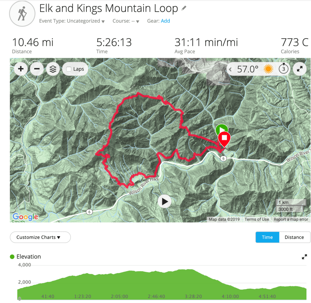
Elk Mountain to King’s Mountain Loop

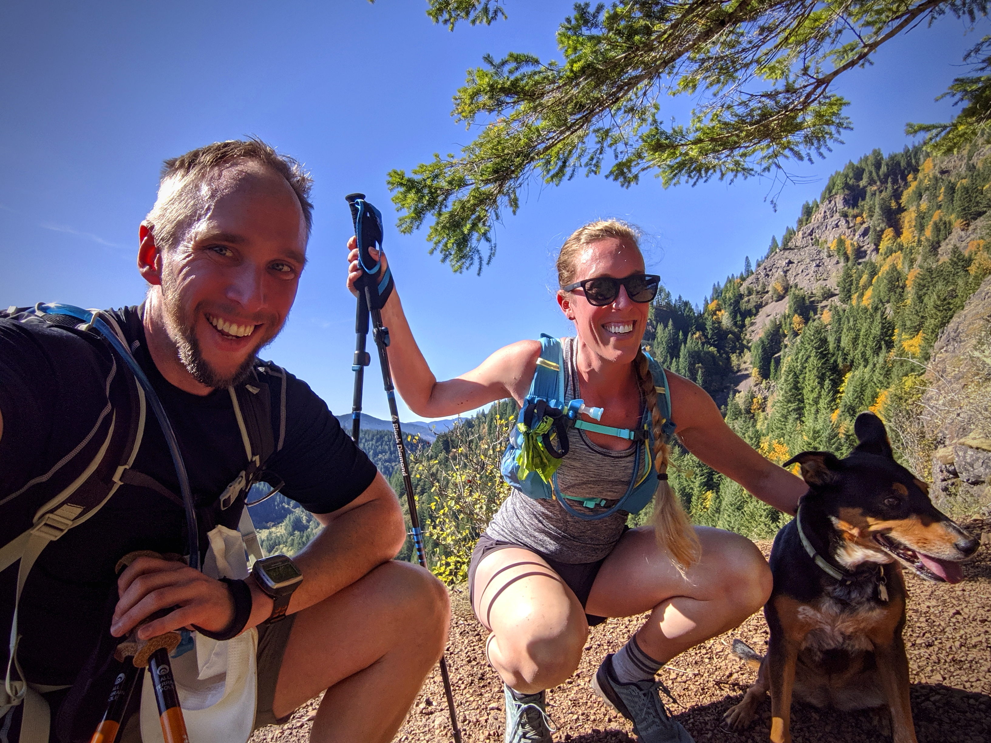


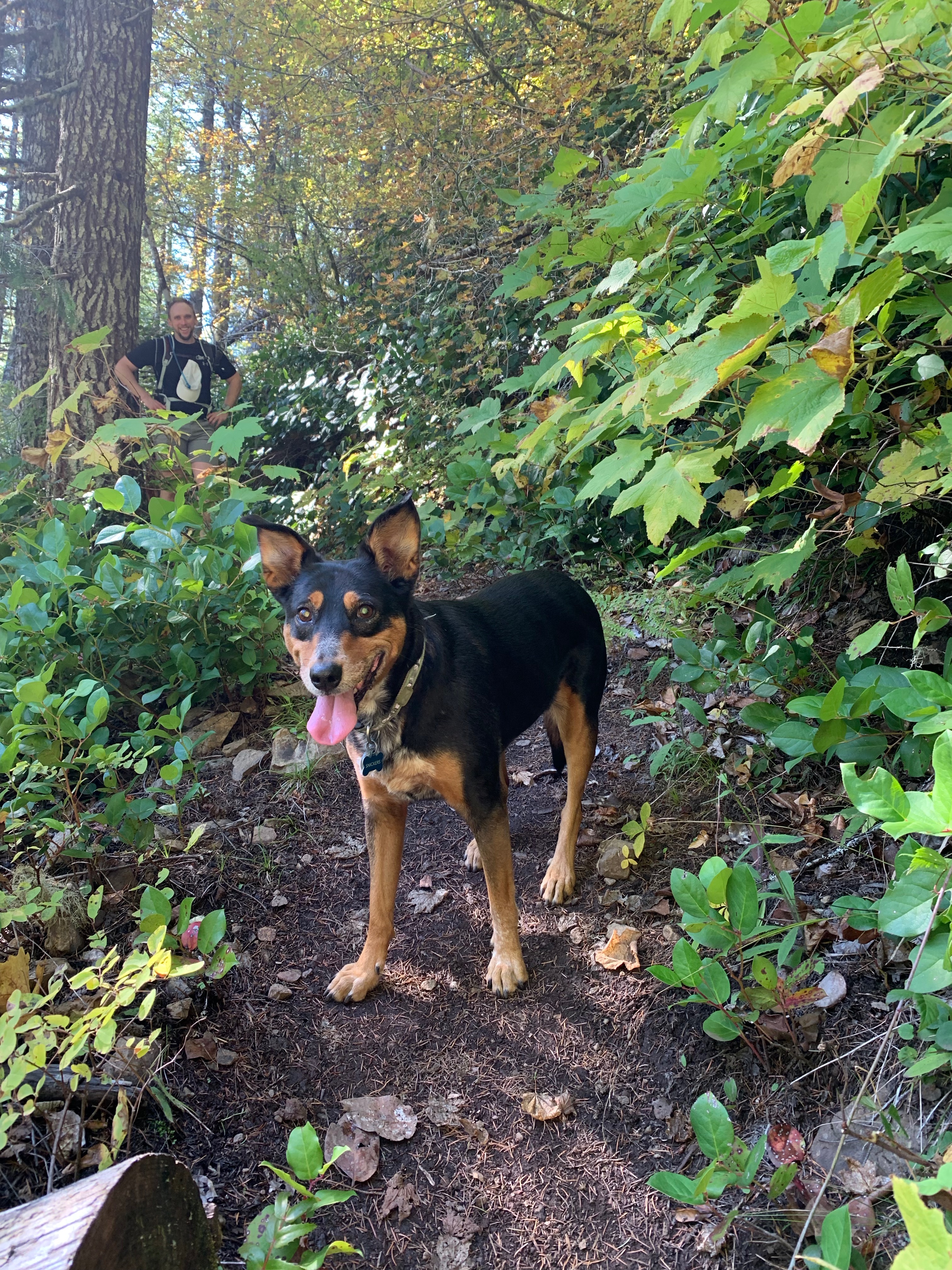

We ended our last weekend in Oregon the same way we started – with some trail time in the Tillamook Forest. The main reason we came to Oregon was so I could run the Elk-King’s 50K and ever since, we’ve been dying to come back and do this loop. We did hike just the King’s Mountain Trail back in December but hadn’t made it back for the full loop. It seemed very fitting that we made this our last adventure.
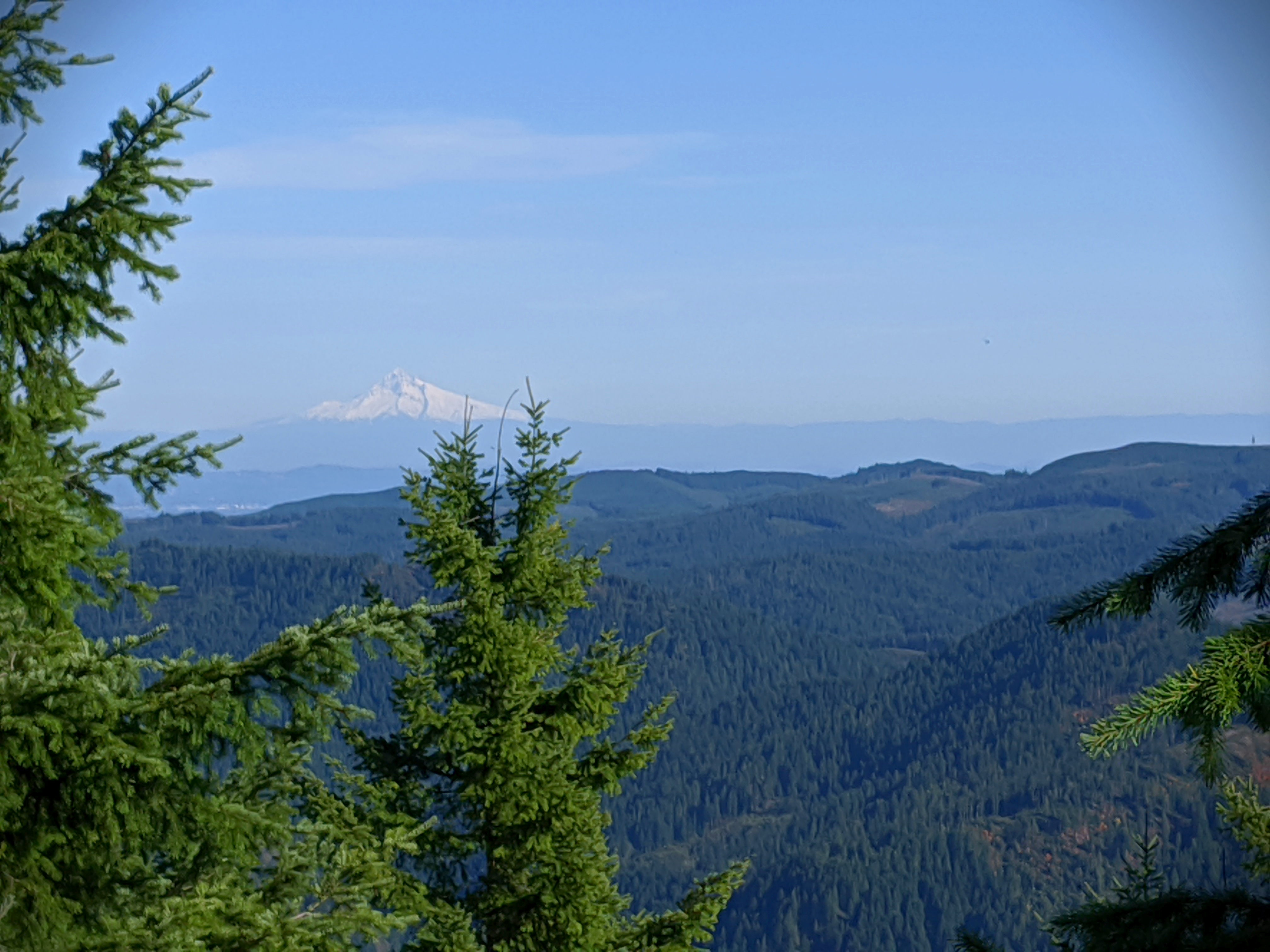
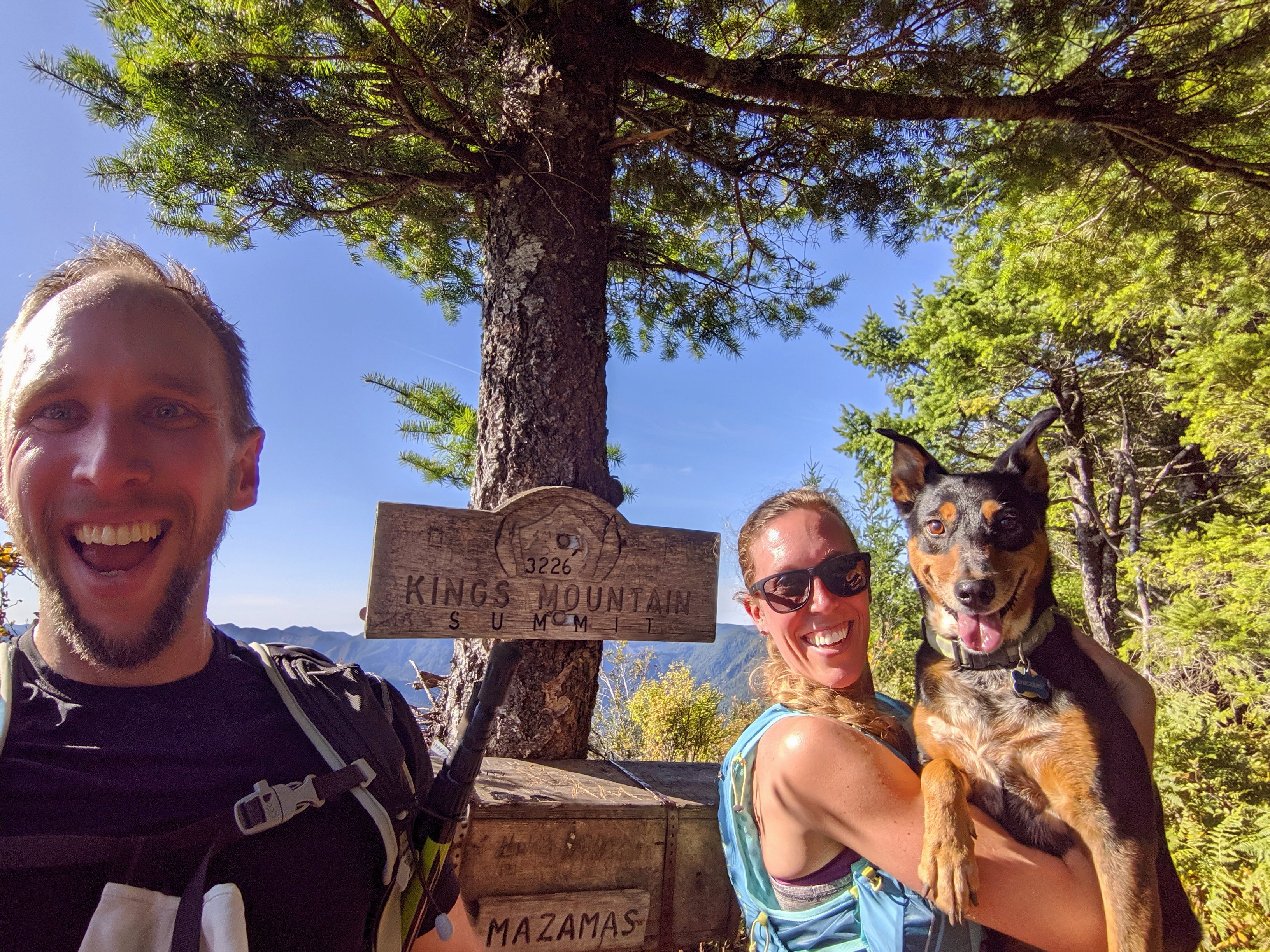
This trail was lightly trafficked and HARD. As avid hikers, we don’t use that description often and it takes a special trail to earn it. We started at the Elk Mountain Trailhead, and the trail climbed over 2,000 feet in 1.5 miles to Elk Mountain. It was brutal! The trail was steep and very rocky. At points it felt like we were just scrambling, and our hiking poles were extremely useful. After a breather at the top, we started the descent to the ridge line that would take us to King’s Mountain. It was more rocky scrambling through this portion and our legs were getting very fatigued. We finally made it to the King’s Mountain summit and the views were spectacular. The last time we were there, it was snowing and you couldn’t see across the valley. This day we had bluebird skies and perfect views of both Mt. Hood and the ocean. From there, it was an easy, gradual descent down the King’s Mountain trail and a 3 mile hike along the Wilson River Trail back to the car for a total of 10.5 miles.
Pat’s Knob
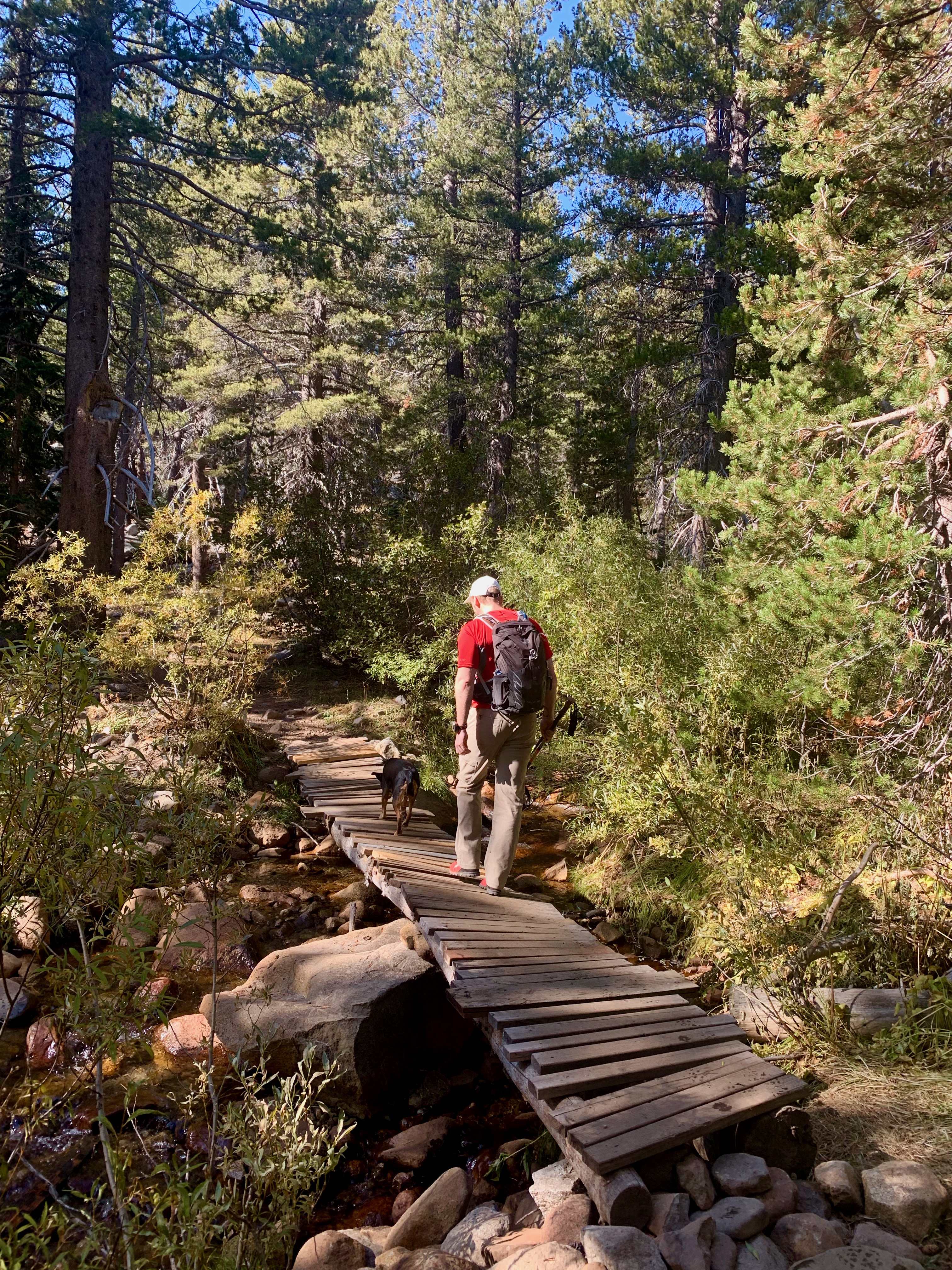

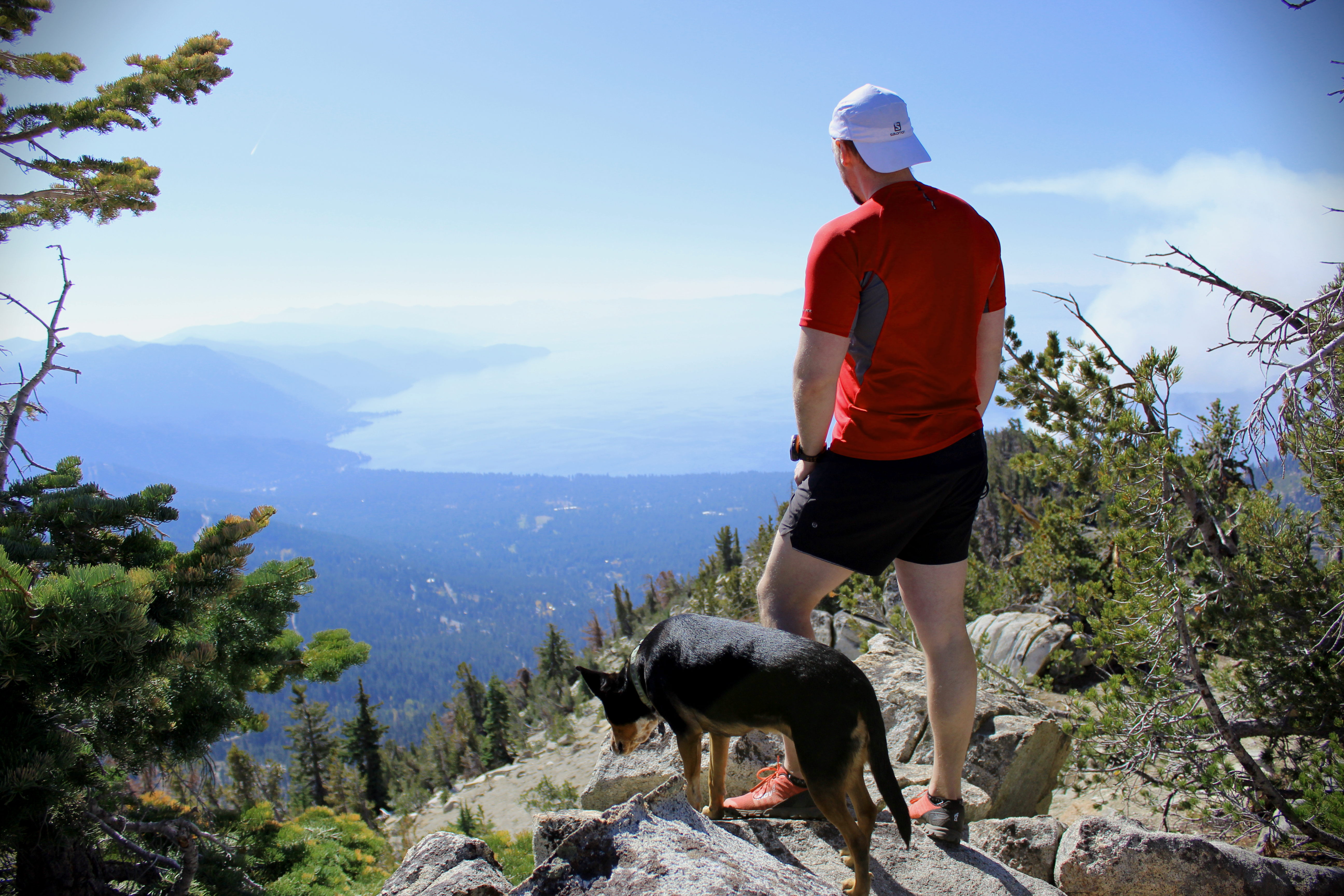

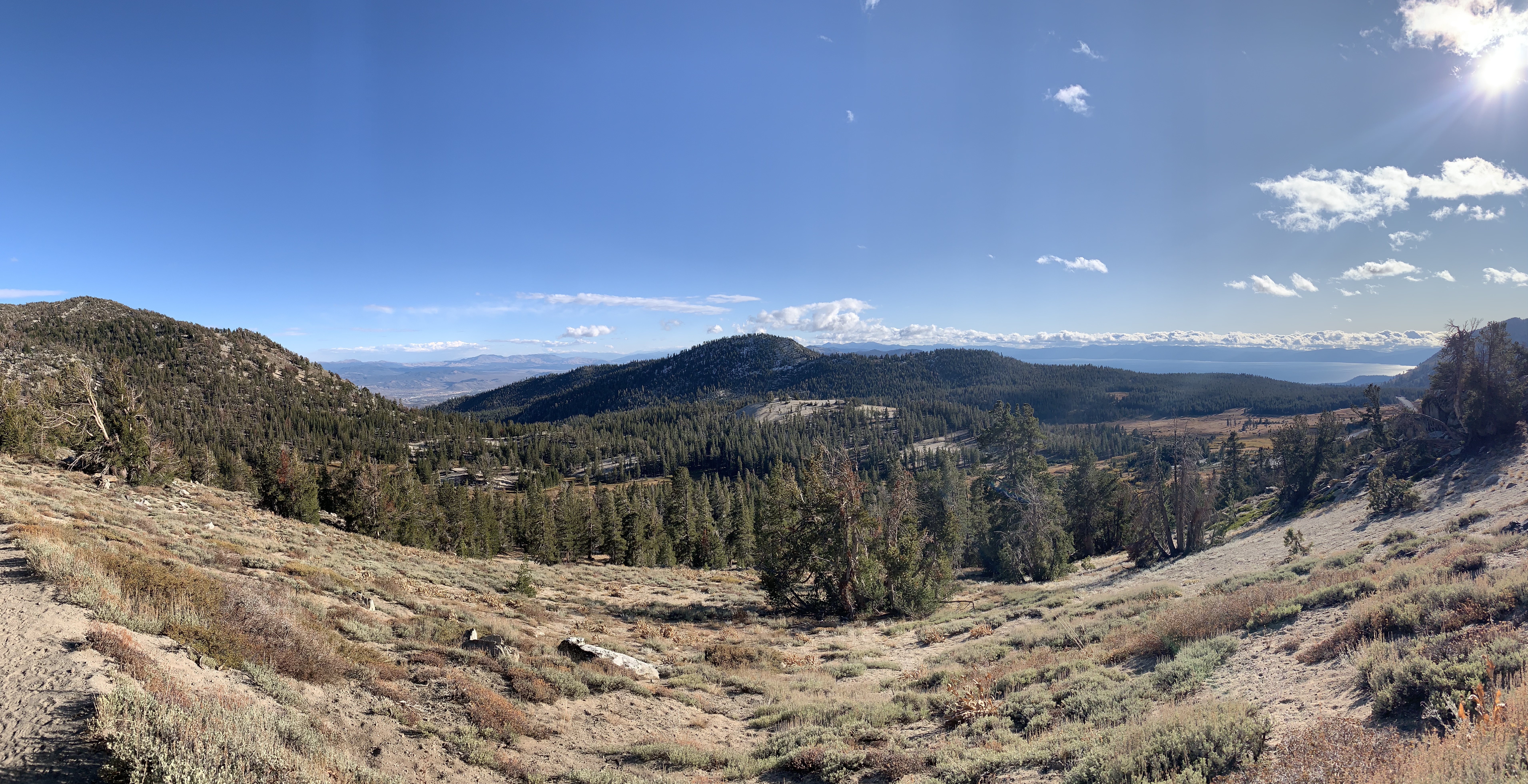
Pat’s Knob is a 4.5 mile trail near Incline Village in North Lake Tahoe. The trail is moderate, but the altitude (over 8k ft at the base) made it a bit strenuous. The trail starts on a service road for ~1/2 mile before veering off into single-track. The actual trailhead can be easy to miss, so keep an eye out. The trail is mostly loose rock, but not overly technical. At the top, there is a great lookout point over Lake Tahoe with some rocks for scrambling. We were the only ones at the top (a rarity!), so we spent a bit of time just hanging out and admiring the view. The return trip was a quick downhill through the forest.

Secret Cove


The Secret Cove is a short, gradual trail that leads to a gorgeous cove on Lake Tahoe. The cove is clothing option, so be prepared for some nudity. The weather was in the mid-60s the day we went and, while we didn’t swim, we did enjoy sunning ourselves on the rocks. It was so quiet, and there are plenty of places to escape the other hikers.
Tahoe Rim Trail to Galena Falls


We did this 5 mile portion of the Tahoe Rim trail in the evening after work. AllTrails says it’s heavily trafficked, but we went on a cold evening in the shoulder season and didn’t see anyone after the first half mile. There is only 550 ft. of elevation gain making it a great running trail or simply a good intro to hiking at altitude. The majority of the climb is in the first mile and then the trail is mostly flat to the falls. It runs through the forest – there are no views of Lake Tahoe – and you have views of Reno and Tamarack Lake. The trail ends at a small waterfall, which was a bit frozen the day we went. It was a cold, windy day, so we didn’t spend much time at the falls opting instead to high-tail it back to the car before dark. Overall, a very enjoyable, quick hike.
Mission Creek Preserve Trail
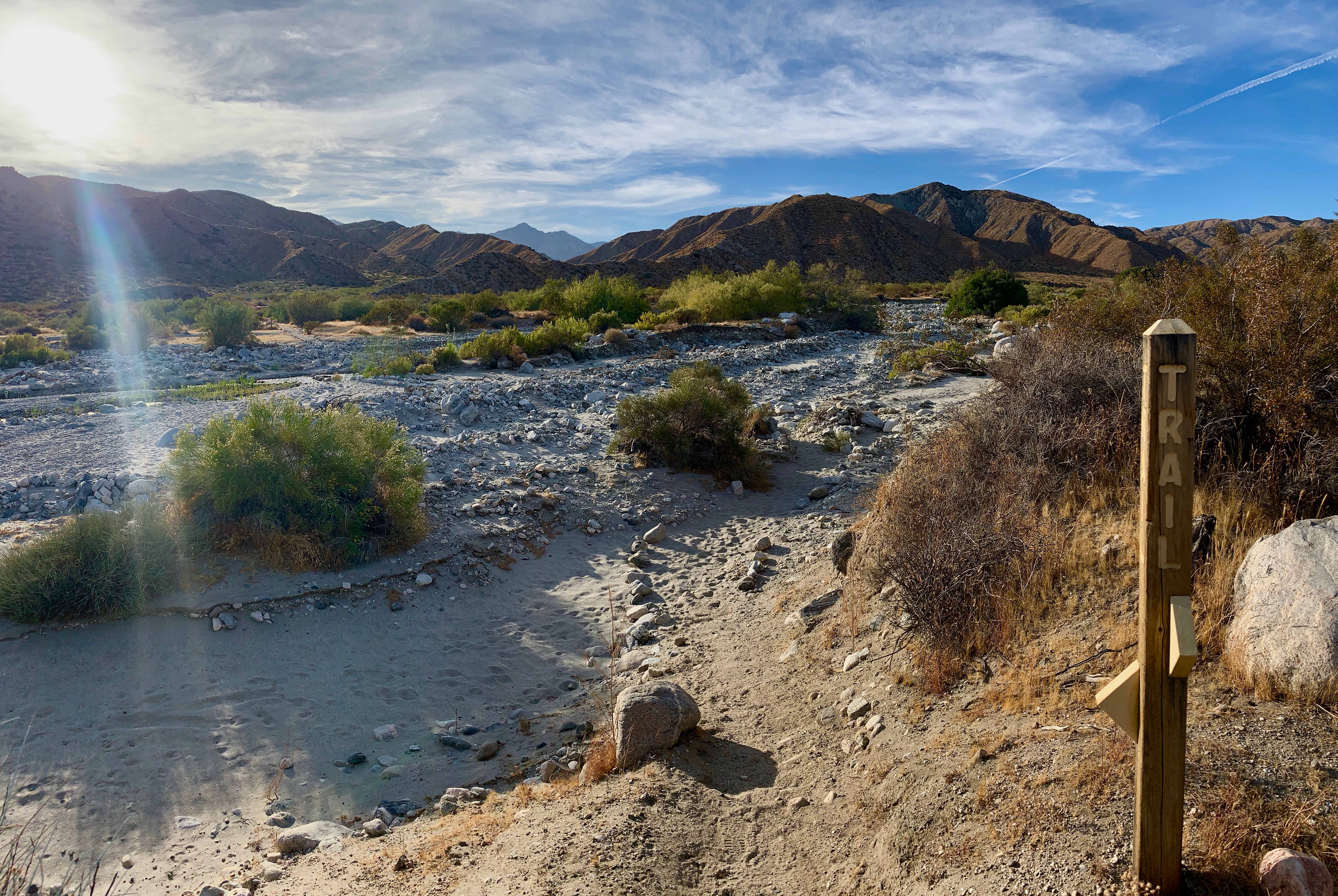

During our stay in Yucca Valley, we did the Mission Creek Preserve Trail twice. There was no shortage of trails in the area, but most of them were sand which makes for a very difficult, very unpleasant hike. This trail runs through a canyon in the Mission Creek Nature Preserve. The first 1.5 miles are on a gravel road – inaccessible to cars – and then it turns into a single-track trail. It actually serves as a connection to the Pacific Crest Trail! We did 5 miles on this trail and thoroughly enjoyed ourselves. The trail climbs very gradually through the canyon before opening up to a sweeping vista of the mountains and river. At 1.5 miles, the trail turns through the river bed and comes out on the other side to continue through the canyon. At this point it got too sandy to run, so we turned back.


Difficult Hike but well explained with proper charts. Lovely pictures.
LikeLike
Beautiful scenery, but a scary ant hill! Great trails and info. You guys know how to enjoy life, congrats! Z
LikeLike